
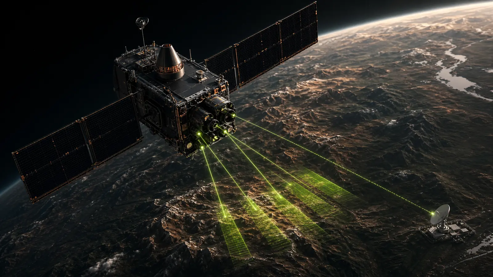
Remote sensing for mineral exploration: where it helps, where it stops
A practical guide to using satellite remote sensing for regional mineral exploration screening, evidence integration, and field prioritization.
Read the foundational guideSource-grounded guidance for geologists and exploration leaders evaluating satellite evidence, prospectivity methods, uncertainty, and field validation.
A practical guide to using satellite remote sensing for regional mineral exploration screening, evidence integration, and field prioritization.
Read the foundational guideSearch the archive or filter by subject. Every guide identifies what the evidence can support—and where field observation must take over.
Showing 3 technical guides
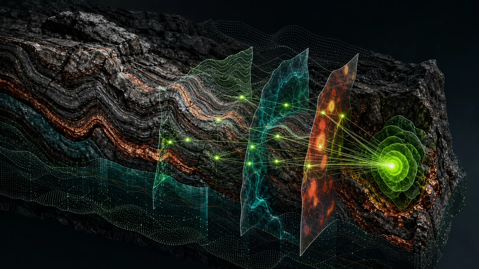
A field-oriented comparison of ASTER, Sentinel-2, radar, and elevation data for alteration, structure, and regional mineral exploration screening.
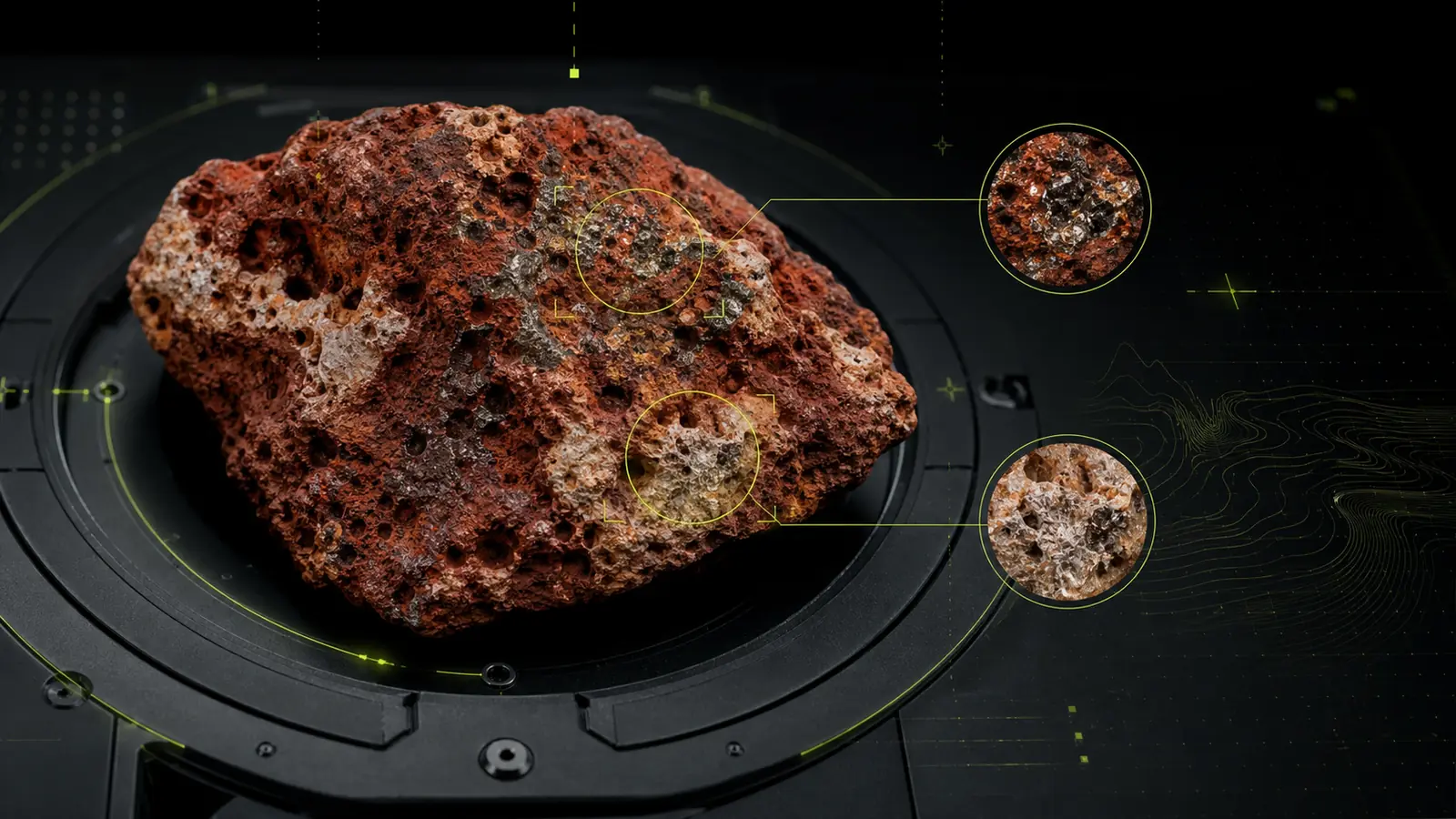
How multi-sensor remote sensing can support bauxite exploration screening while keeping geological context, vegetation, and field validation in view.
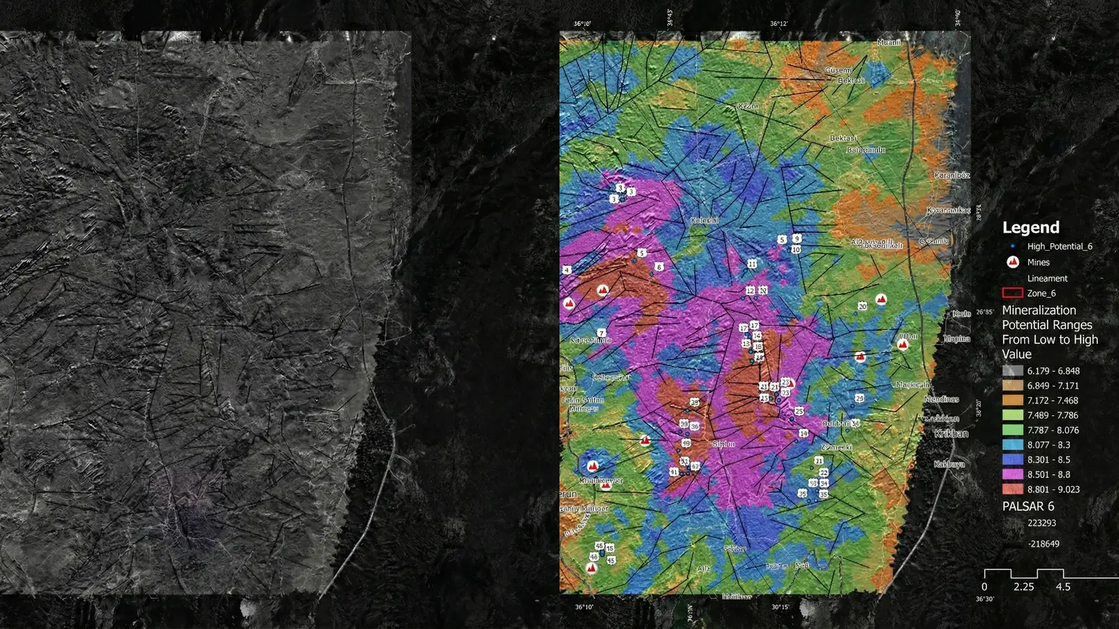
How exploration teams can evaluate prospectivity models without relying on a single accuracy score or confusing screening evidence with discovery.
Try a broader term or clear the active topic filter.