
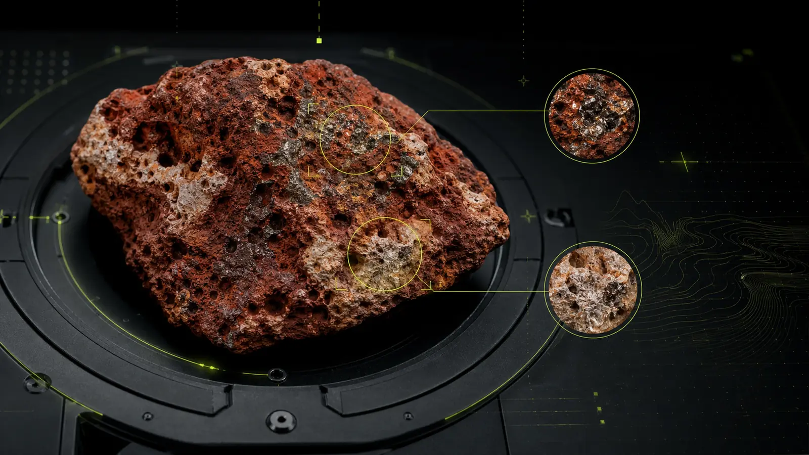
Bauxite exploration is shaped by parent material, weathering history, geomorphology, preservation, erosion, and cover. Remote sensing can help organize regional evidence around those controls, but it cannot identify ore quality or economic continuity from imagery alone.
What the satellite record contributes
A bauxite-oriented evidence stack may combine:
- Optical and shortwave-infrared observations for surface and mineral-group contrast.
- Iron-related and clay-related proxy responses where exposure permits.
- Radar and elevation data for terrain, drainage, breaks in slope, and structural context.
- Existing geology, known occurrences, mines, geochemistry, and field observations.
- Land-cover masks to distinguish vegetation, soil, agriculture, infrastructure, and exposed rock.
No single index is specific to bauxite. Similar spectral responses may arise from unrelated clays, iron-rich soils, weathering products, land disturbance, or atmospheric and terrain effects.
Deposit-model context matters
Remote-sensing evidence should be interpreted against questions such as:
- Is the target lateritic, karstic, or associated with another geological setting?
- Which parent lithologies and palaeosurfaces are permissive?
- How might uplift, erosion, drainage, or burial affect preservation?
- Does vegetation or transported material obscure the expected surface response?
- Are known occurrences representative of the broader area?
This context determines whether spectral, structural, or geomorphological evidence should carry more weight.
A practical workflow
- Define the bauxite model, AOI, and next decision.
- Audit archive quality, acquisition dates, vegetation, and terrain.
- Build surface, terrain, geological, and occurrence layers.
- Exclude unstable or non-diagnostic responses.
- Rank zones with visible evidence drivers.
- Record alternative explanations for each high-priority zone.
- Design field checks for lithology, weathering profile, geomorphology, and sampling.
The output should be a prioritized field program—not a declaration of tonnage, grade, or discovery.
Example: Payas–İslahiye
Scanminers’ Payas–İslahiye study brought Landsat, ASTER archive information, PALSAR-2, terrain interpretation, and regional geological context into one screening workflow. The approved public summary describes approximately 120 km² across four ranked zones for field verification.
The value of the study is the traceable ranking: technical reviewers can see which evidence supports each priority, where the evidence is incomplete, and what field observation should come next.
Read the Payas–İslahiye study context.
Limitations that should remain visible
- Dense vegetation can obscure diagnostic surface information.
- Clay and iron responses are not unique to bauxite.
- Archive quality and acquisition date affect comparability.
- Terrain can change illumination and apparent spectral response.
- Known mines may bias model design and validation.
- Remote sensing cannot establish thickness, grade, continuity, metallurgy, or economic viability.
Responsible bauxite screening uses remote sensing to focus fieldwork. It does not substitute for geological mapping, sampling, drilling, assaying, or resource evaluation.
References
- USGS, ASTER overview and mineral-mapping capabilities.
- European Space Agency, satellite observations supporting geological mapping.
- Scanminers, sensor selection guide.