

Sensor-aware evidence fusion
Each layer keeps its role and limitsAI mineral intelligence
See critical mineral priorities before the drill turns.
Scanminers fuses satellite observations, geoscience, and explainable AI-assisted reasoning into ranked, inspectable priorities for field verification.
Geoscience and product leadership.
Direct access from first AOI review to final brief.

Zone A
Zone C
Signal strength0.73
Magnetic high Prospective zones
Illustrative prospect analysis—not a live targetConceptual depth: 200–500 m under cover
Built for
Heads of exploration
Geology & data leads
JV & strategy teams
Field superintendents
From AOI to field priorities
Scope and timing set per studyRationale ready for review
Drivers · uncertainty · limitationsThe challenge
Why field-first exploration can’t keep pace.
Fieldwork remains essential. The bottleneck is asking it to carry regional screening, evidence synthesis, and prioritization before the strongest targets are known.
Limited field coverage
Field programs sample only a fraction of regional terrain. Without earlier screening, teams spend scarce field time testing broad possibilities instead of the strongest evidence.
High-risk capital allocation
Survey, access, and drilling decisions move capital before all evidence is comparable. Fragmented targeting makes priorities harder to defend and portfolios harder to sequence.
Timelines kill momentum
Acquisition, processing, and review cycles compound before a target reaches the field. Slow synthesis leaves teams reacting to data instead of advancing a clear validation plan.
GeoAI workflow
From raw evidence to field-ready priorities.
Multi-sensor fusion meets inspectable analysis—one systematic pipeline from regional observations to ranked, reviewable zones.
Ingest
Multi-sensor intake
Satellite, radar, elevation, geology, geochemistry, and field evidence—screened for provenance, acquisition limits, artifacts, and decision relevance.
Fuse
Evidence fusion
Comparable features are organized across sensor types and tied to the deposit model, rather than stacked simply for visual complexity.
Model
Explainable AI
Interpretable statistical and AI-assisted methods rank evidence while keeping data leakage, redundancy, and correlated proxies in view.
Rank
Prospectivity ranking
Tiered zones retain their principal drivers, confidence context, and the competing explanation that could make each interpretation wrong.
Decide
Field-ready packaging
GIS-ready layers, a ranked target register, and sequenced field checks translate the analysis into a practical next move.
Every priority ships with its rationale.Evidence drivers, uncertainty, and competing explanations stay visible for geological review.
Deliverables
Three views that power drill decisions.
Regional heatmaps, feature-importance charts, and ranked target lists—delivered GIS-ready, inside your workflow.
Regional prospectivity map
A GIS-ready regional view showing where multiple evidence layers converge and which zones deserve closer examination.
- Colour-coded prospectivity scores
- Interactive hotspot context
- Scale, legend, and coordinates
Feature importance chart
Per-target evidence drivers show why a priority ranks highly, what remains uncertain, and what could contradict the interpretation.
- Relative evidence-driver ranking
- Per-target SHAP attribution
- Reviewable evidence rationale
Priority register
Rank / targetCoordinatesScore
01Zone A38.704°N / 36.842°EFault + Fe signature0.91
02Zone C38.681°N / 36.817°ETerrain + spectral0.84
03Zone F38.745°N / 36.891°EMagnetic context0.72
No Tier 1 targets in this view.
Ranked target register
A filterable register of priority zones with coordinates, confidence context, brief rationale, and the field work needed to test each one.
- Priority tiers with confidence context
- Coordinates and brief rationale
- Sequenced field verification
3 km
Selected work
Four zones worth walking.
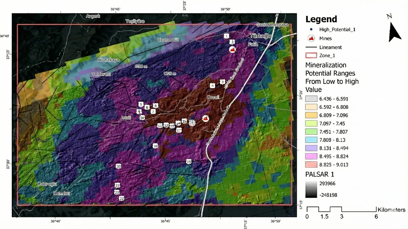
An approved public summary: satellite, radar, terrain, and geological evidence organized into ranked zones for field verification across approximately 120 km².
~120 km²Area evaluated
4Ranked zones
Multi-sensorInspectable evidence stack
- Landsat and relevant ASTER-archive spectral evidence
- PALSAR-2 radar, elevation, terrain, and structural context
- GIS-ready priorities with visible rationale per zone
Screening and decision-support study. Not a deposit claim, a resource, or a substitute for ground investigation.
01You are screening a regional AOI before committing field budget.
02Your reviewers need rationale and uncertainty—not a black-box score.
03Your evidence is fragmented across sensors, vintages, and formats.
04Every traverse needs a clear question and decision consequence.
From the research desk
Remote sensing, with the scientific boundary intact.
Source-reviewed guidance on sensors, evidence, validation, and field verification for exploration decision-makers.
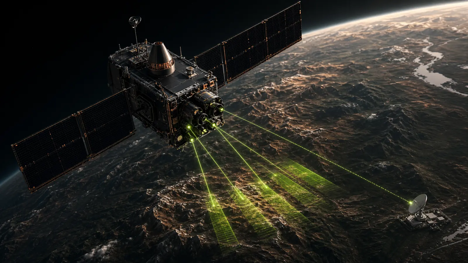
Foundational guide8 minute read
Remote sensing for mineral exploration: where it helps, where it stops
A practical guide to using satellite remote sensing for regional mineral exploration screening, evidence integration, and field prioritization.
- Remote sensing
- Mineral exploration
- Field prioritization
Source reviewed
Read the guide 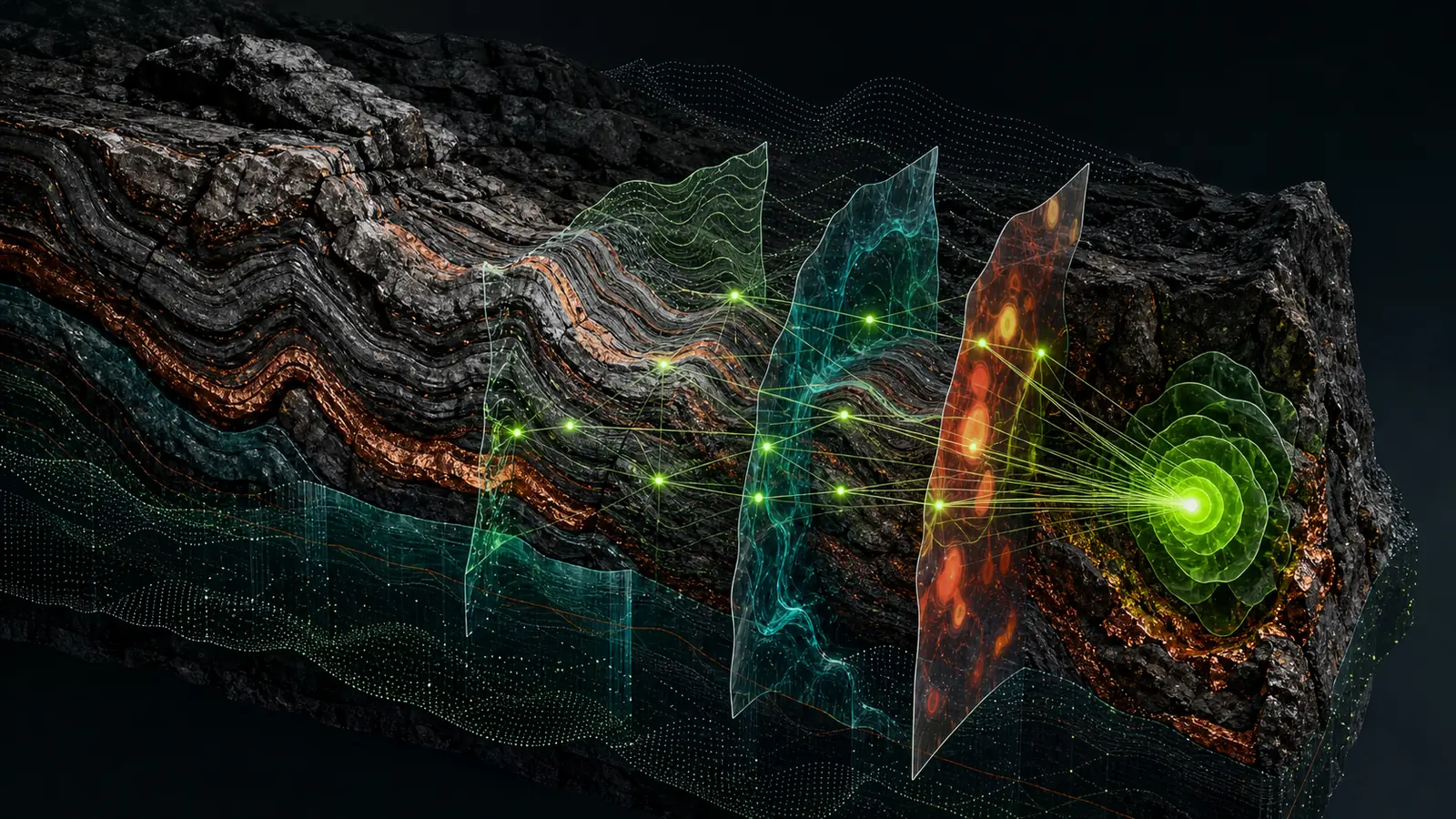
Sensor selection7 minute read
ASTER, Sentinel-2, and SAR for mineral exploration: choosing the evidence stack
A field-oriented comparison of ASTER, Sentinel-2, radar, and elevation data for alteration, structure, and regional mineral exploration screening.
- ASTER
- Sentinel-2
- SAR
Source reviewed
Read the guide 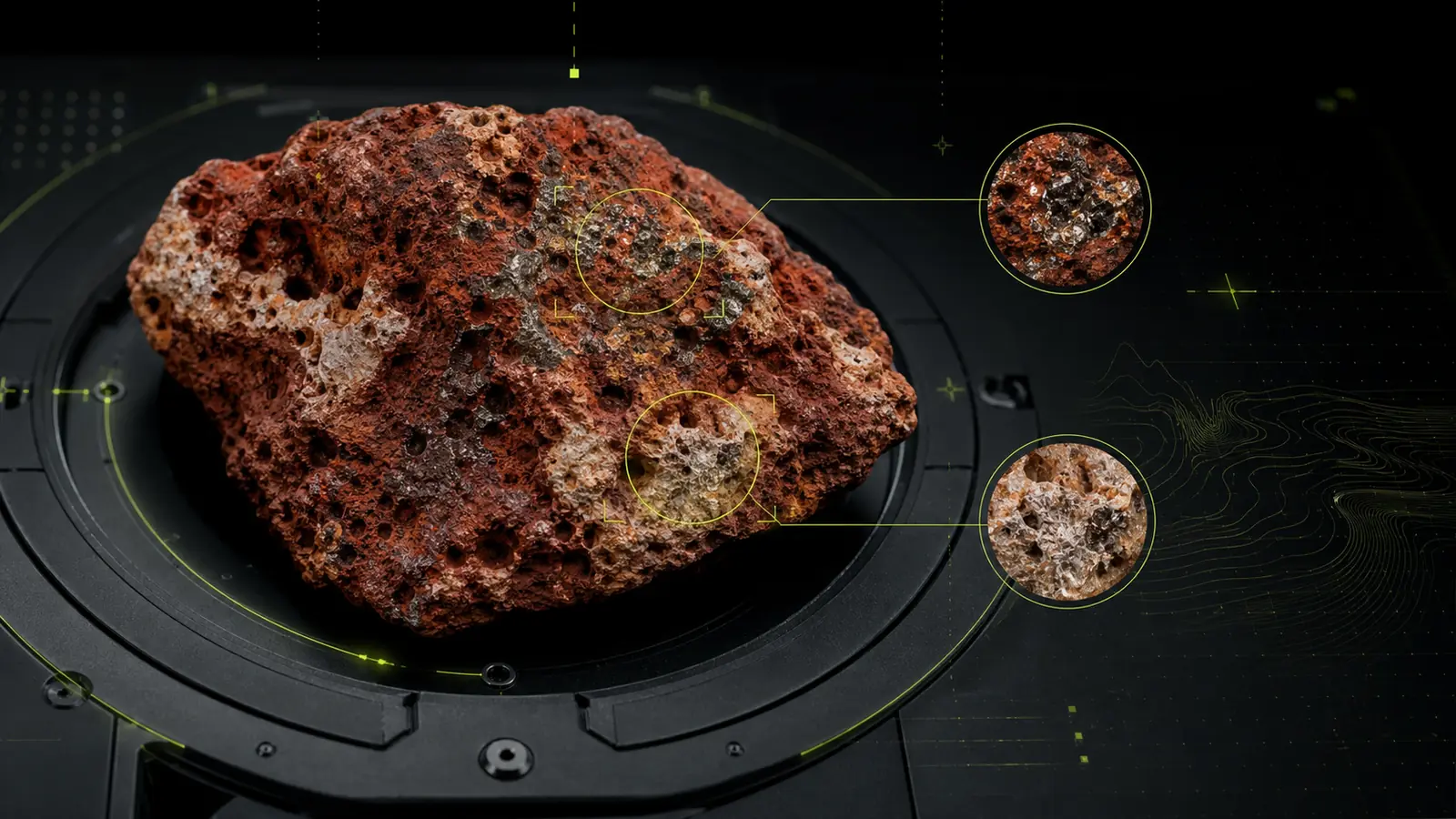
Commodity guide · Bauxite6 minute read
Remote sensing for bauxite exploration: evidence, terrain, and limitations
How multi-sensor remote sensing can support bauxite exploration screening while keeping geological context, vegetation, and field validation in view.
- Bauxite
- Remote sensing
- Terrain analysis
Approved summary
Read the guide Research library · 4 published guidesExplore all insights
Research reviewedReady for AOI assessment
Next step
Choose your entry point.
Start with an AOI fit review, book a working session, or move directly into a scoped study. Every path begins with the decision your team needs to make.
Assessment request
Response in 2–3 days