
Scanminers exists to help exploration teams move from fragmented evidence to a defensible next investigation. The company’s role is not to replace geologists or fieldwork. It is to make regional evidence easier to compare, challenge, and convert into a focused plan.
Leadership
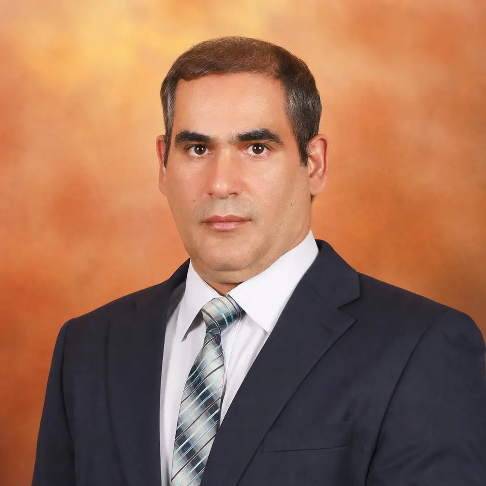 Co-founder · Chief Scientist
Dr. Amin Beiranvand Pour
Dr. Amin’s work focuses on geological remote sensing, multi-sensor satellite analysis, spectral interpretation, and critical-mineral exploration. His research perspective anchors the scientific questions and evidence boundaries used in Scanminers studies.
Scientific profile ↗Mahmood Asadi
Mahmood translates remote-sensing and geoscience workflows into practical decision systems, with responsibility for product architecture, AI-assisted analysis, evidence traceability, and the client experience.
Product profile ↗Operating principles
The geological question comes first
Sensor selection and modeling follow the deposit thesis, terrain, data quality, and decision. Scanminers does not apply one generic workflow to every commodity or region.
Evidence remains traceable
Inputs, processing decisions, exclusions, assumptions, sensitivity, and limitations belong in the deliverable. A technical team should be able to challenge why a target ranked highly.
Human review remains accountable
AI-assisted analysis can accelerate synthesis and comparison. It does not own the geological interpretation or the public claim. Those remain human responsibilities.
Field verification is part of the method
Remote intelligence produces testable priorities. Mapping, sampling, geophysics, drilling, laboratory work, and appropriate reporting standards establish what is actually present.
Editorial and evidence standard
Scanminers distinguishes approved study summaries, source-grounded technical explainers, and conceptual examples. Conceptual material is labeled. Unsupported performance claims and unreviewed AI drafts are not treated as evidence.